Eagle Point Golf Club
Plan your round at Eagle Point Golf Club
Eagle Point Golf Club is an 18-hole par 72 course designed by Robert Trent Jones Jr. and opened in 1996, about 10 miles northeast of Medford in the Rogue Valley. It measures about 7,100 yards from the back tees. The club is semi-private, with blocks of tee times reserved for members, and has chalets on site for stay-and-play.
- Semi-private
- 18 holes
- Par 72
- Designed by Robert Trent Jones Jr.
- Opened 1996
Course strategy
Read the card before you play it
Walk the course
Eagle Point Golf Club hole by hole
Hole 1
369
yds ·Gray
No notes for this hole yet.
Hole 2
388
yds ·Gray
No notes for this hole yet.
Hole 3
155
yds ·Gray
No notes for this hole yet.
Hole 4
511
yds ·Gray
No notes for this hole yet.
Hole 5
276
yds ·Gray
No notes for this hole yet.
Hole 6
413
yds ·Gray
No notes for this hole yet.
Hole 7
328
yds ·Gray
No notes for this hole yet.
Hole 8
129
yds ·Gray
No notes for this hole yet.
Hole 9
484
yds ·Gray
No notes for this hole yet.
Hole 10
293
yds ·Gray
No notes for this hole yet.
Hole 11
372
yds ·Gray
No notes for this hole yet.
Hole 12
461
yds ·Gray
No notes for this hole yet.
Hole 13
154
yds ·Gray
No notes for this hole yet.
Hole 14
377
yds ·Gray
No notes for this hole yet.
Hole 15
115
yds ·Gray
No notes for this hole yet.
Hole 16
519
yds ·Gray
No notes for this hole yet.
Hole 17
349
yds ·Gray
No notes for this hole yet.
Hole 18
408
yds ·Gray
No notes for this hole yet.
ScorecardView the full scorecard
Distances in yards
| Hole | Par | Hcp | Black | Gold | Gray | Green |
|---|---|---|---|---|---|---|
| 1 | 4 | — | 417 | 388 | 369 | 342 |
| 2 | 4 | — | 456 | 417 | 388 | 314 |
| 3 | 3 | — | 204 | 181 | 155 | 90 |
| 4 | 5 | — | 580 | 547 | 511 | 437 |
| 5 | 4 | — | 341 | 308 | 276 | 250 |
| 6 | 4 | — | 471 | 442 | 413 | 289 |
| 7 | 4 | — | 375 | 352 | 328 | 305 |
| 8 | 3 | — | 188 | 156 | 129 | 107 |
| 9 | 5 | — | 522 | 496 | 484 | 387 |
| Out | 36 | 3,554 | 3,287 | 3,053 | 2,521 | |
| 10 | 4 | — | 348 | 322 | 293 | 268 |
| 11 | 4 | — | 426 | 403 | 372 | 300 |
| 12 | 5 | — | 526 | 498 | 461 | 421 |
| 13 | 3 | — | 206 | 177 | 154 | 118 |
| 14 | 4 | — | 425 | 398 | 377 | 332 |
| 15 | 3 | — | 150 | 119 | 115 | 80 |
| 16 | 5 | — | 591 | 557 | 519 | 426 |
| 17 | 4 | — | 399 | 366 | 349 | 311 |
| 18 | 4 | — | 471 | 449 | 408 | 294 |
| In | 36 | 3,542 | 3,289 | 3,048 | 2,550 | |
| Total | 72 | 7,096 | 6,576 | 6,101 | 5,071 |
Before you go
Everything to know on arrival
Know before you go
- Collared shirts are required
- Soft spikes only
- Check Talon Grill hours before planning a meal
- Expect a long uphill walk from the 15th green to the 16th tee if you are walking
Dress code
Collared shirts are required and soft spikes only.
Carts & walking
Power carts, pull carts and rental clubs are available. The course is mostly walkable with some hills, the main exception being a long uphill between the 15th green and 16th tee.
Practice facilities
There is a driving range, a chipping area with sand and a practice green.
Rentals & pro shop
Rental clubs and carts are available.
Food & drink
Talon Grill serves breakfast, lunch and dinner, though not every day, so check its hours first.
Policies
Tees, markers, ball mark repair tools and a yardage book are provided at no charge. The course is open all year and drains well in winter. An air hose and brushes are available for cleaning shoes.
Quick answers
Eagle Point Golf Club at a glance
Is Eagle Point Golf Club open to the public?
Yes. Eagle Point Golf Club is semi-private: it has members and also takes public tee times.
How many holes does Eagle Point Golf Club have, and what's the par?
Eagle Point Golf Club has 18 holes and plays to a par of 72, from 5,071 to 7,096 yards depending on the tees.
Is there a hole-by-hole guide to Eagle Point Golf Club?
Yes. You can see Eagle Point Golf Club hole by hole on its interactive 3D map: fly a hole free, then unlock the rest.
Who designed Eagle Point Golf Club?
Eagle Point Golf Club was designed by Robert Trent Jones Jr. and opened in 1996.
What's the dress code at Eagle Point Golf Club?
Collared shirts are required and soft spikes only.
What are the cart and walking rules at Eagle Point Golf Club?
Power carts, pull carts and rental clubs are available. The course is mostly walkable with some hills, the main exception being a long uphill between the 15th green and 16th tee.
What practice facilities does Eagle Point Golf Club have?
There is a driving range, a chipping area with sand and a practice green.
What food and drink does Eagle Point Golf Club have?
Talon Grill serves breakfast, lunch and dinner, though not every day, so check its hours first.
How do you book a tee time at Eagle Point Golf Club?
Call the course at (541) 826-8225.
Where is Eagle Point Golf Club?
Eagle Point Golf Club is at 100 Eagle Point Dr, Eagle Point, OR 97524.
Info last reviewed November 13, 2026. Policies change — confirm with the course before your round.
3D course map
Eagle Point Golf Club hole by hole, in 3D.
Fly down each hole on real 3D imagery: tilt, turn and zoom to see the landing areas, the hazards and the green before you play.
Hole 1 is open to everyone. Sign in or sign up free to see every hole.
The 3D course map is made by maps.golf. It isn’t affiliated with, sponsored by or endorsed by Eagle Point Golf Club.
More golf in Oregon
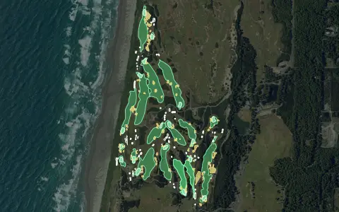
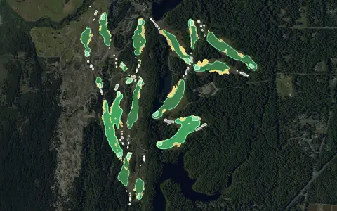
Aerial imagery: USDA NAIP. Some hole outlines © OpenStreetMap contributors.
All Oregon golf courses →- #8 of 26 · Longest golf courses in Oregon by yardage
- #234 of 1677 · Longest golf courses by yardage
Want this for your own course?
The map below is a real maps.golf embed — the same interactive 3D map a visitor sees dropped directly into Eagle Point Golf Club's own website.