 maps.golf
Courses
Know the course before you play it.
Free pre-round guides — scorecard, hole-by-hole notes, dress code, practice facilities. Many courses also have an interactive 3D map: fly a hole free, and unlock every hole of the course when you want the full tour.
Showing 217–240 of 333 courses
Map view →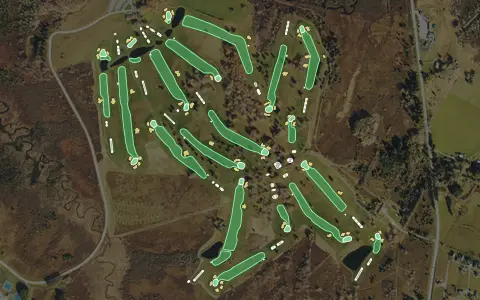 3D map
Canaan Valley Resort Golf Club
Davis
18 holes · Par 72 · Resort
 3D map
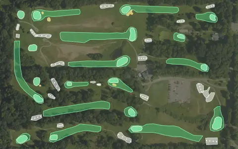
Cedar Farms Golf Club
Battle Creek
18 holes · Par 71 · Semi-private
 3D map
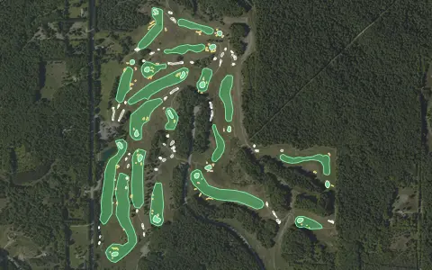
Champion Hill Golf Course
Beulah
18 holes · Par 72 · Public
 3D map
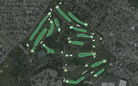
Clifton Park Golf Course
Baltimore
18 holes · Par 71 · Public
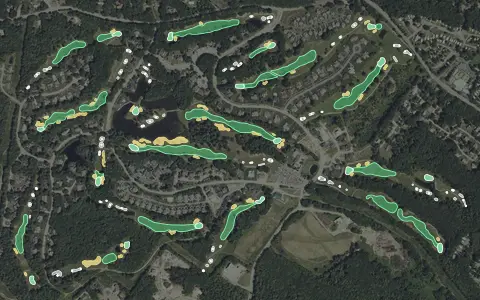 3D map
Dunegrass Golf Club
Old Orchard Beach
18 holes · Par 72 · Public
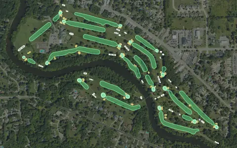 3D map
Flushing Valley Golf Club
Flushing
18 holes · Par 71 · Semi-private
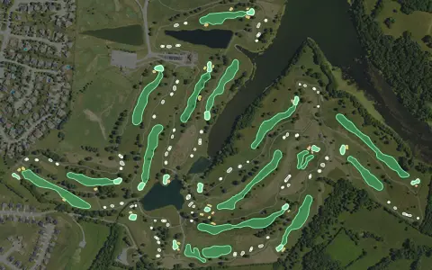 3D map
Gibson Bay Golf Course
Richmond
18 holes · Par 72 · Public
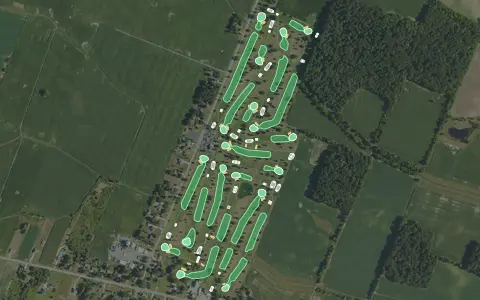 3D map
Green Meadows Golf Course
Monroe
18 holes · Par 70 · Public
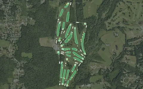 3D map
Hazelton Golf Club
Rehoboth
18 holes · Par 70 · Public
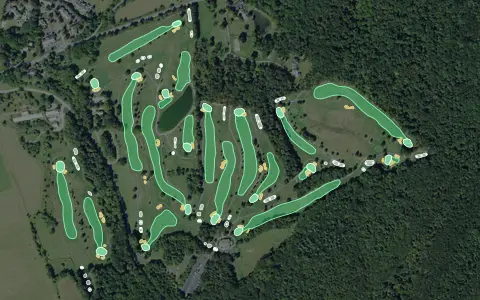 3D map
Hickory Hill
18 holes · Par 72 · Public
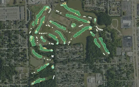 3D map
Lakes of Taylor Golf Club
Hubbard
18 holes · Par 72 · Public
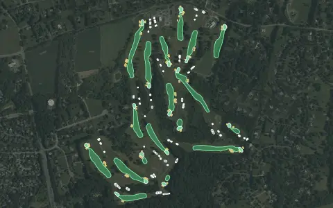 3D map
Laytonsville Golf Course
Laytonsville
18 holes · Par 71 · Municipal
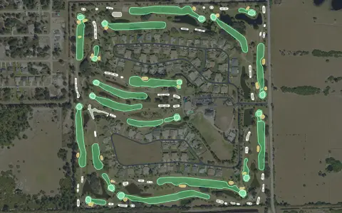 3D map
Majestic Golf Club
Lehigh Acres
18 holes · Par 72 · Public
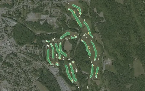 3D map
Montague Golf Club
Randolph
18 holes · Par 69 · Public
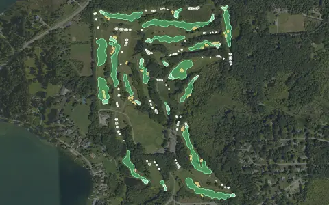 3D map
Moose Ridge Golf Course
South Lyon
18 holes · Par 71 · Public
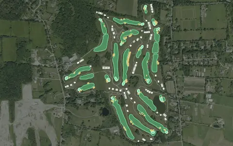 3D map
Newport National Golf Club
Middletown
18 holes · Par 72 · Public
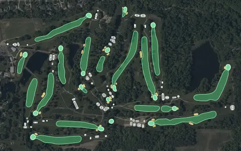 3D map
Pine Hills Golf Course
Hinckley
18 holes · Par 72 · Public
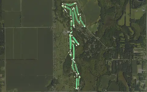 3D map
Pine View Golf Course
Three Rivers
18 holes · Par 72 · Public
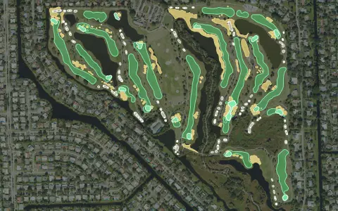 3D map
Plantation Preserve Golf & Country Club
Plantation
18 holes · Par 72 · Municipal
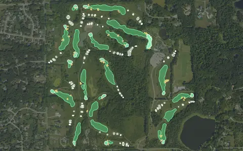 3D map
Quail Ridge Golf Club
Ada
18 holes · Par 72 · Public
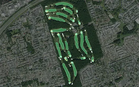 3D map
South Shore Golf Course
Staten Island
18 holes · Par 72 · Public
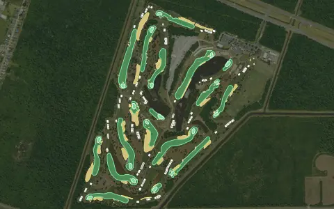 3D map
Tournament Players Club of Louisiana
Avondale
18 holes · Par 72 · Public
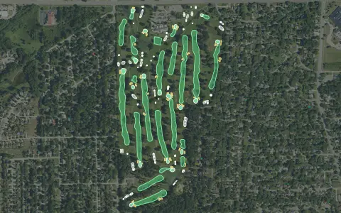 3D map
Washtenaw Golf Club
Ypsilanti
18 holes · Par 72 · Public
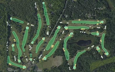 3D map
Wawonowin Golf Course
Ely Township
18 holes · Par 72 · Semi-private
Aerial imagery: USDA NAIP. Some hole outlines © OpenStreetMap contributors.