 maps.golf
Courses
Know the course before you play it.
Free pre-round guides — scorecard, hole-by-hole notes, dress code, practice facilities. Many courses also have an interactive 3D map: fly a hole free, and unlock every hole of the course when you want the full tour.
Showing 1–24 of 333 courses
Map view →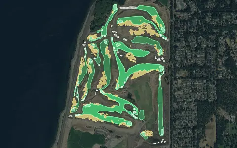 3D map
Chambers Bay
University Place
18 holes · Par 72 · Municipal
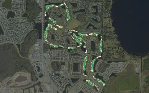 3D map
Eagle Creek Golf Club
Orlando
18 holes · Par 73 · Public
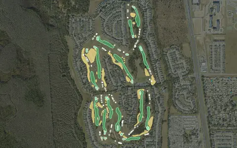 3D map
Highlands Reserve Golf Club
Davenport
18 holes · Par 72 · Public
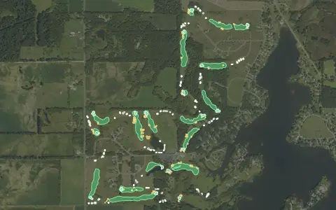 3D map
Island Hills Golf Club
Centreville
18 holes · Par 72 · Resort
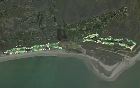 3D map
Kiawah Island – Ocean Course
Kiawah Island
18 holes · Par 72 · Resort
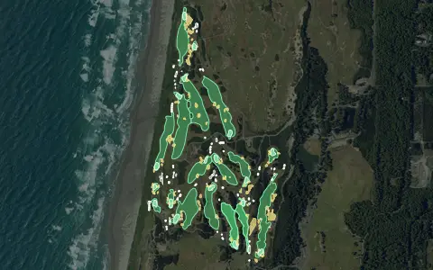 3D map
Pacific Dunes
Bandon
18 holes · Par 71 · Resort
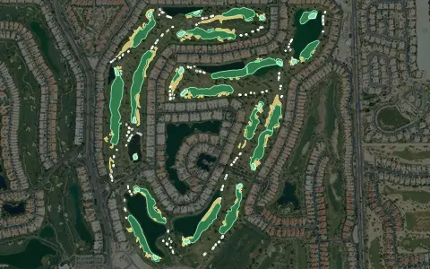 3D map
PGA West – Stadium Course
La Quinta
18 holes · Par 72 · Resort
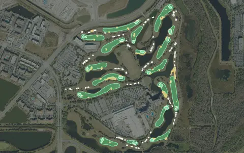 3D map
Shingle Creek Golf Club
Orlando
18 holes · Par 72 · Resort
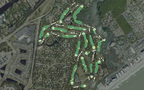 3D map
The Dunes Golf & Beach Club
Myrtle Beach
18 holes · Par 72 · Semi-private
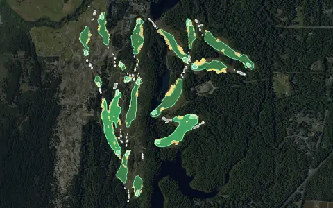 3D map
Bandon Trails
Bandon
18 holes · Par 71 · Resort
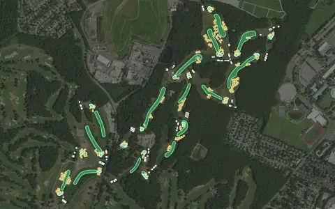 3D map
Bethpage Black
Farmingdale
18 holes · Par 71 · Public
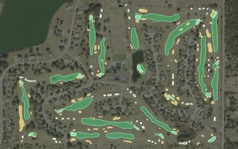 3D map
Black Bear Golf Club - Eustis
Eustis
18 holes · Par 72 · Public
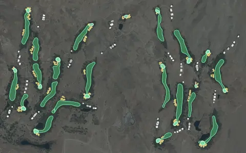 3D map
Cascata Golf Club
Boulder City
18 holes · Par 72 · Resort
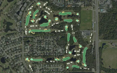 3D map
Chi Chi Rodriguez Golf Club
Clearwater
18 holes · Par 69 · Municipal
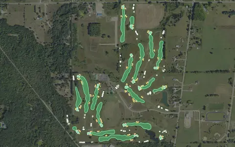 3D map
Eagle Glen Golf Course
Farwell
18 holes · Par 72 · Public
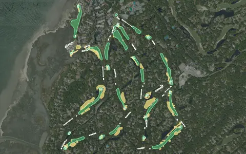 3D map
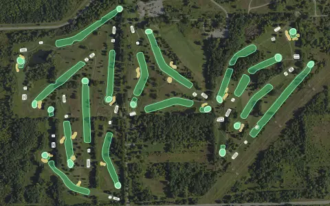
Harbour Town Golf Links
Hilton Head Island
18 holes · Par 71 · Resort
 3D map
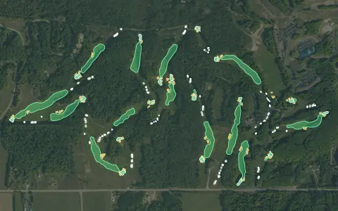
Indian Springs Metropark Golf Course
White Lake Charter Township
18 holes · Par 71 · Public
 3D map
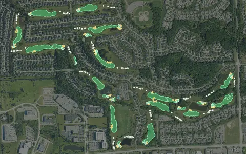
Masterpiece
Dover Township
18 holes · Par 71 · Resort
 3D map
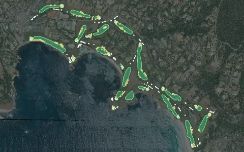
Northville Hills Golf Club
Northville
18 holes · Par 72 · Public
 3D map
Pebble Beach Golf Links
Pebble Beach
18 holes · Par 72 · Resort
 3D map
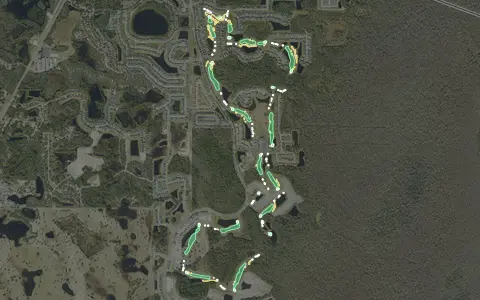
Providence Golf Club
Davenport
18 holes · Par 72 · Public
 3D map
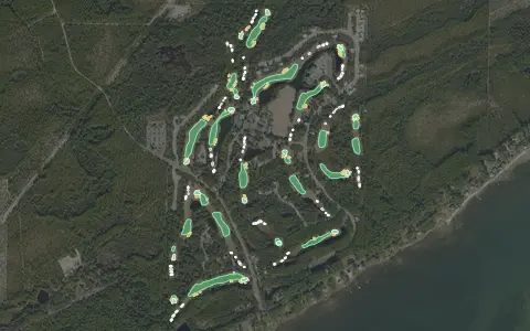
St. James Bay
Carrabelle
18 holes · Par 72 · Resort
 3D map
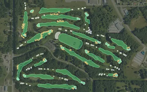
The Quest Golf Club
Houghton Lake
18 holes · Par 72 · Public
 3D map
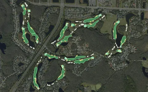
TPC Tampa Bay
Lutz
18 holes · Par 71 · Public
Aerial imagery: USDA NAIP. Some hole outlines © OpenStreetMap contributors.