 maps.golf
Courses
Know the course before you play it.
Free pre-round guides — scorecard, hole-by-hole notes, dress code, practice facilities. Many courses also have an interactive 3D map: fly a hole free, and unlock every hole of the course when you want the full tour.
Showing 241–264 of 333 courses
Map view →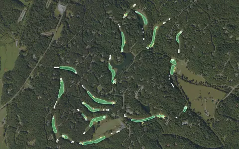 3D map
Whitepath Golf Course
Ellijay
18 holes · Par 72 · Public
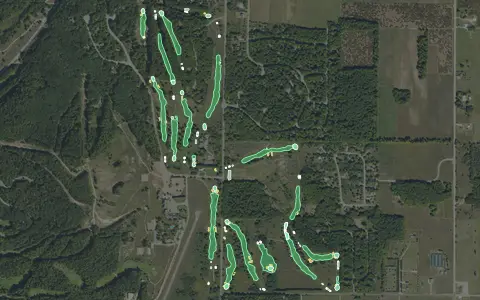 3D map
"The Old Course" at Sugar Loaf
Cedar
18 holes · Par 72 · Resort
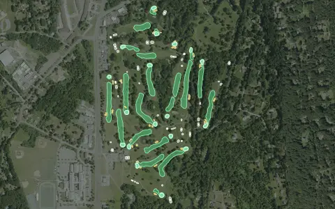 3D map
Candlewood Valley Country Club
New Milford
18 holes · Par 71 · Public
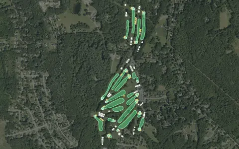 3D map
Chemawa Golf Course
North Attleboro
18 holes · Par 68 · Public
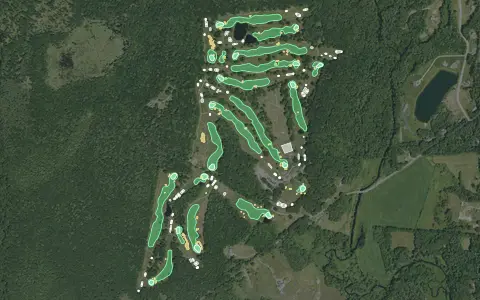 3D map
Connecticut National Golf Course
Putnam
18 holes · Par 71 · Public
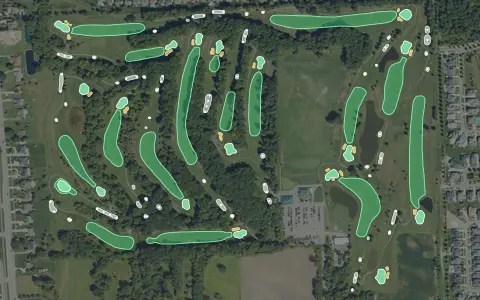 3D map
Cracklewood Golf Club!
Macomb Township
18 holes · Par 72 · Public
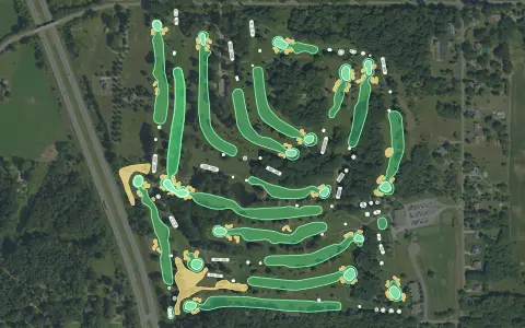 3D map
Lake Michigan Hills Golf Club
Benton Harbor
18 holes · Par 72 · Public
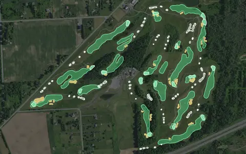 3D map
Mill Creek Golf Club
Churchville
18 holes · Par 71 · Public
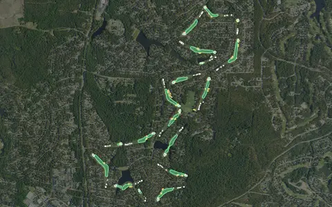 3D map
Pinehurst Course No. 6
18 holes · Par 72 · Resort
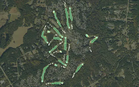 3D map
Providence Club
Monroe
18 holes · Par 72 · Semi-private
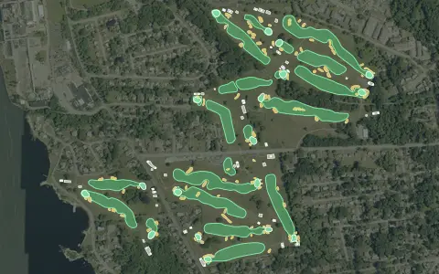 3D map
Shennecossett Golf Course
Groton
18 holes · Par 71 · Municipal
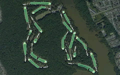 3D map
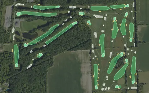
Stumpy Lake Golf Course
Virginia Beach
18 holes · Par 72 · Municipal
 3D map
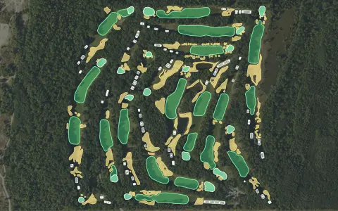
Timberwood Golf Club
Ray
18 holes · Par 72 · Public
 3D map
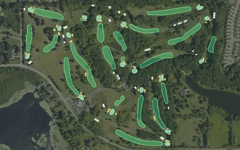
Blackshire
Oscoda Township
18 holes · Par 72 · Resort
 3D map
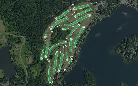
Chemung Hills Golf Club
Howell
18 holes · Par 72 · Public
 3D map
Copake Country Club
Craryville
18 holes · Par 72 · Public
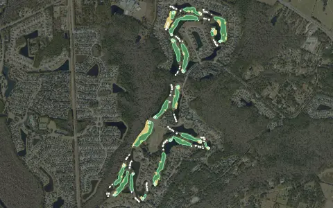 3D map
King and Bear Golf Course
St. Augustine
18 holes · Par 72 · Semi-private
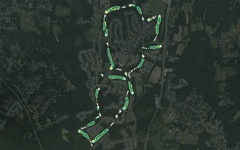 3D map
Lake Presidential Golf Course
Upper Marlboro
18 holes · Par 72 · Public
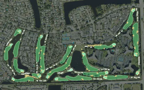 3D map
Pembroke Lakes Country Club
Pembroke Pines
18 holes · Par 72 · Public
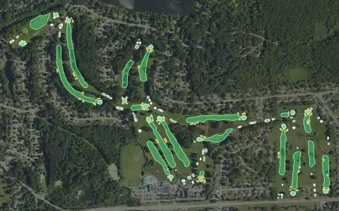 3D map
Shenandoah Country Club
West Bloomfield
18 holes · Par 72 · Public
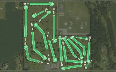 3D map
States Golf Club
Vicksburg
18 holes · Par 72 · Public
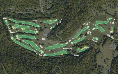 3D map
Sugarwood Golf Club
18 holes · Par 71 · Public
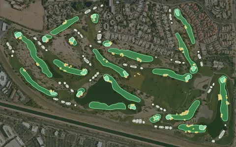 3D map
TPC Scottsdale – Stadium Course
Scottsdale
18 holes · Par 71 · Resort
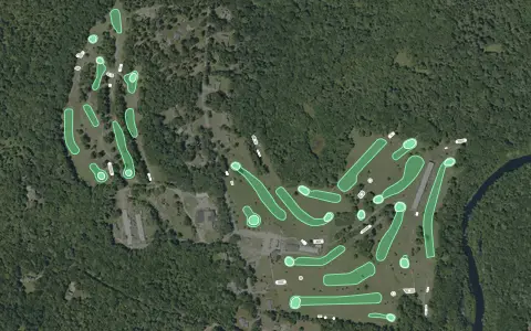 3D map
Wood River Golf
Hope Valley
18 holes · Par 69 · Public
Aerial imagery: USDA NAIP. Some hole outlines © OpenStreetMap contributors.