 maps.golf
Courses
Know the course before you play it.
Free pre-round guides — scorecard, hole-by-hole notes, dress code, practice facilities. Many courses also have an interactive 3D map: fly a hole free, and unlock every hole of the course when you want the full tour.
Showing 265–288 of 333 courses
Map view →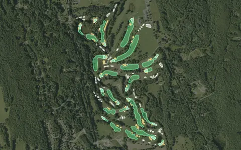 3D map
Bretwood Golf Course – South
Keene
18 holes · Par 72 · Public
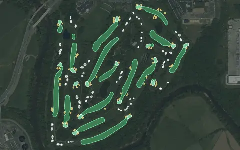 3D map
Clustered Spires Golf Course
Frederick
18 holes · Par 72 · Municipal
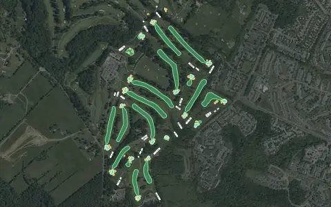 3D map
Diamond Ridge Golf Course
Windsor Mill
18 holes · Par 71 · Public
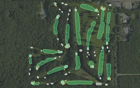 3D map
Pine View Highlands
Houghton Lake
18 holes · Par 71 · Public
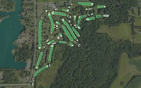 3D map
Raisin Valley Golf Club
Tecumseh
18 holes · Par 71 · Public
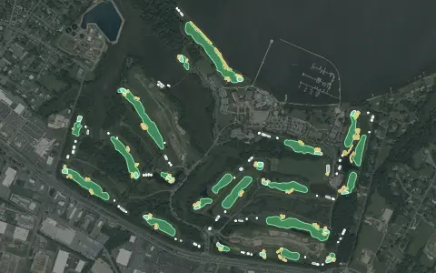 3D map
River Marsh Golf Club
Cambridge
18 holes · Par 71 · Resort
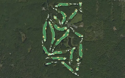 3D map
The Nightmare GC
West Branch
18 holes · Par 72 · Public
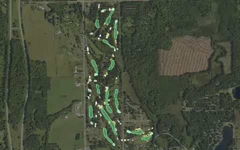 3D map
The Tamaracks Golf Course
Frost Township
18 holes · Par 71 · Public
Makai Golf Club
Princeville
18 holes · Par 72 · Public
El Cardonal at Diamante
18 holes · Par 72 · Resort
Mauna Kea Golf Course
Kohala Coast
18 holes · Par 72 · Resort
Quintero Golf Club
Peoria
18 holes · Par 72 · Public
Tetherow Golf Club
Bend
18 holes · Par 72 · Resort
Bear Creek Golf Club
Wentzville
18 holes · Par 72 · Public
Jefferson Hills Golf Course
Rigby
18 holes · Par 71 · Semi-private
Madison Golf & Country Club
Madison
18 holes · Par 71 · Semi-private
Augusta Pines Golf Course
Spring
18 holes · Par 72 · Semi-private
Bear Creek Golf Course – East
Dallas
18 holes · Par 72 · Public
Boise Ranch Golf Course
Boise
18 holes · Par 71 · Public
Cross Timbers Golf Course
Azle
18 holes · Par 72 · Public
Mee-Kwon Park Golf Course
Mequon
18 holes · Par 70 · Municipal
River's Edge Golf Club At Burley
Burley
18 holes · Par 72 · Public
Saddle Rock Golf Course
Aurora
18 holes · Par 72 · Municipal
Saddleback Ridge Golf Course
Solon
18 holes · Par 72 · Public
Aerial imagery: USDA NAIP. Some hole outlines © OpenStreetMap contributors.