 maps.golf
Courses
Know the course before you play it.
Free pre-round guides — scorecard, hole-by-hole notes, dress code, practice facilities. Many courses also have an interactive 3D map: fly a hole free, and unlock every hole of the course when you want the full tour.
Showing 25–48 of 333 courses
Map view →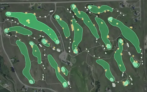 3D map
Wild Horse Golf Club
Gothenburg
18 holes · Par 72 · Public
 3D map
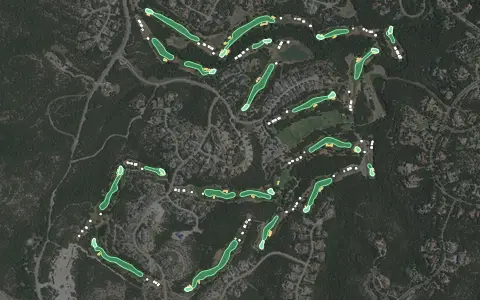
Barton Creek – Fazio Canyons
Austin
18 holes · Par 72 · Resort
 3D map
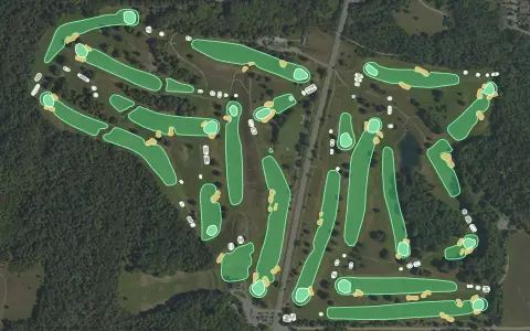
Belvedere Golf Club
Marion Township
18 holes · Par 72 · Semi-private
 3D map
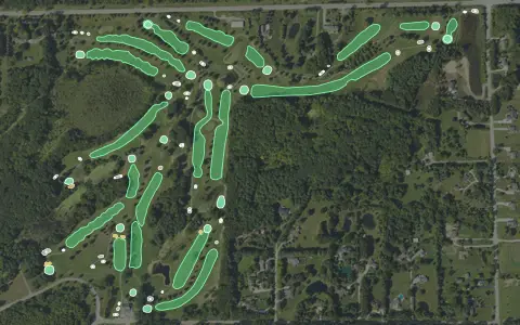
Bruce Hills Golf Course
Romeo
18 holes · Par 70 · Public
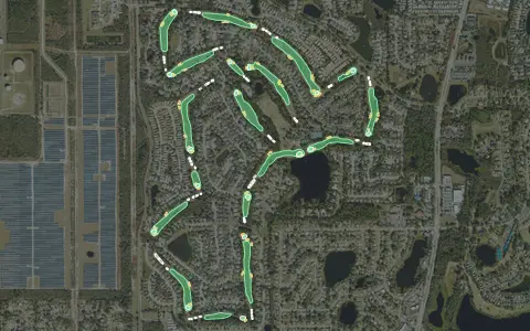 3D map
DeBary Country Club
DeBary
18 holes · Par 72 · Semi-private
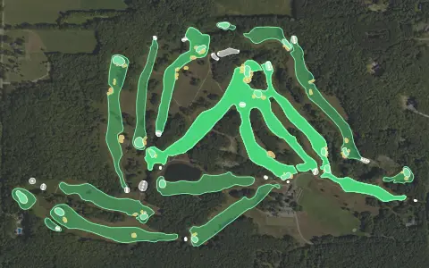 3D map
Diamond Springs Golf Course
Hamilton
18 holes · Par 72 · Public
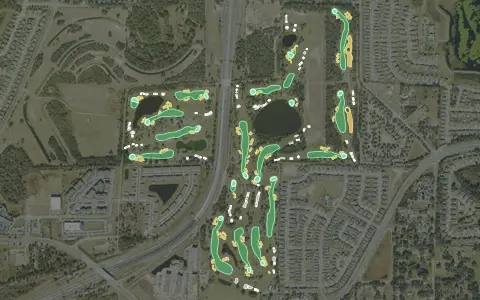 3D map
Forest Lake Golf Club
Apopka
18 holes · Par 72 · Public
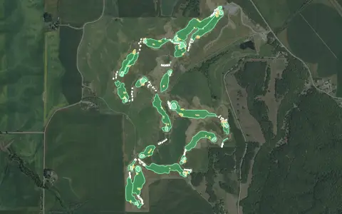 3D map
Landmand Golf Club
Homer
18 holes · Par 73 · Public
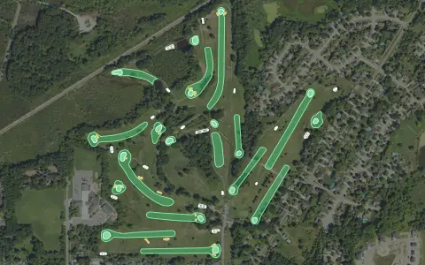 3D map
Meridian Sun Golf Club
Haslett
18 holes · Par 70 · Semi-private
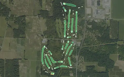 3D map
Oceana Golf Club
Shelby
18 holes · Par 72 · Semi-private
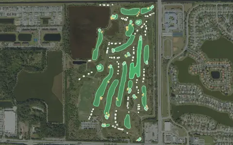 3D map
Park Ridge Golf Course
Lake Worth
18 holes · Par 72 · Municipal
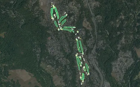 3D map
Pasatiempo Golf Club
Santa Cruz
18 holes · Par 70 · Semi-private
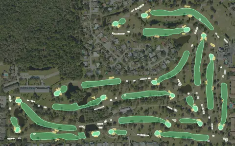 3D map
Rockledge Country Club
Rockledge
18 holes · Par 71 · Semi-private
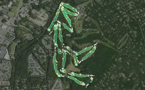 3D map
Southern Pines Golf Club
Southern Pines
18 holes · Par 71 · Public
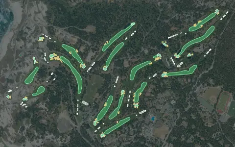 3D map
Spyglass Hill Golf Course
Pebble Beach
18 holes · Par 72 · Resort
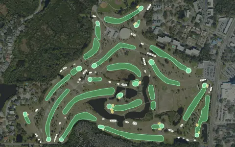 3D map
Tarpon Springs Golf Course
Tarpon Springs
18 holes · Par 72 · Municipal
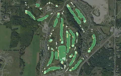 3D map
The Crown Golf Club
Traverse City
18 holes · Par 72 · Public
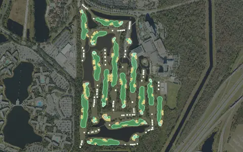 3D map
Waldorf Astoria Golf Club
Orlando
18 holes · Par 72 · Resort
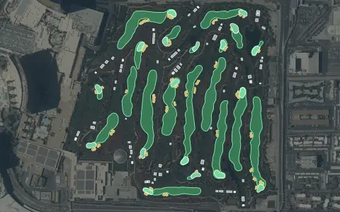 3D map
Wynn Golf Club
Las Vegas
18 holes · Par 70 · Resort
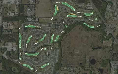 3D map
Arlington Ridge Golf Club
Leesburg
18 holes · Par 71 · Semi-private
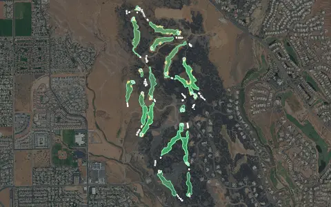 3D map
Black Desert Resort
Ivins
18 holes · Par 72 · Resort
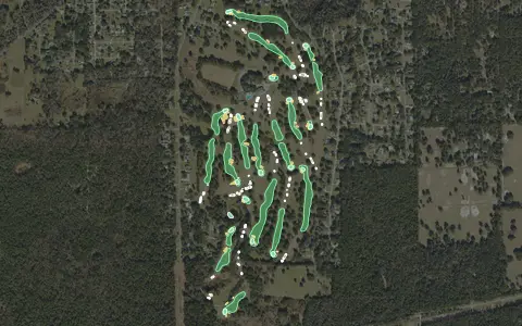 3D map
Brooksville Country Club
Brooksville
18 holes · Par 72 · Semi-private
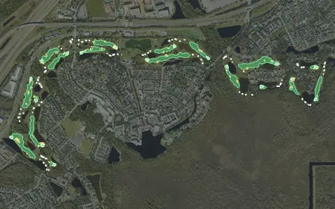 3D map
Celebration Golf Club
Celebration
18 holes · Par 72 · Public
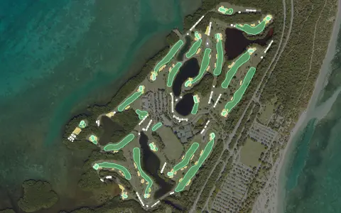 3D map
Crandon Park Golf Course
Key Biscayne
18 holes · Par 72 · Municipal
Aerial imagery: USDA NAIP. Some hole outlines © OpenStreetMap contributors.